June 18, 2006 – Day 1 Summary
Summary
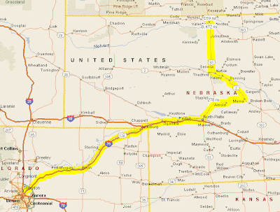
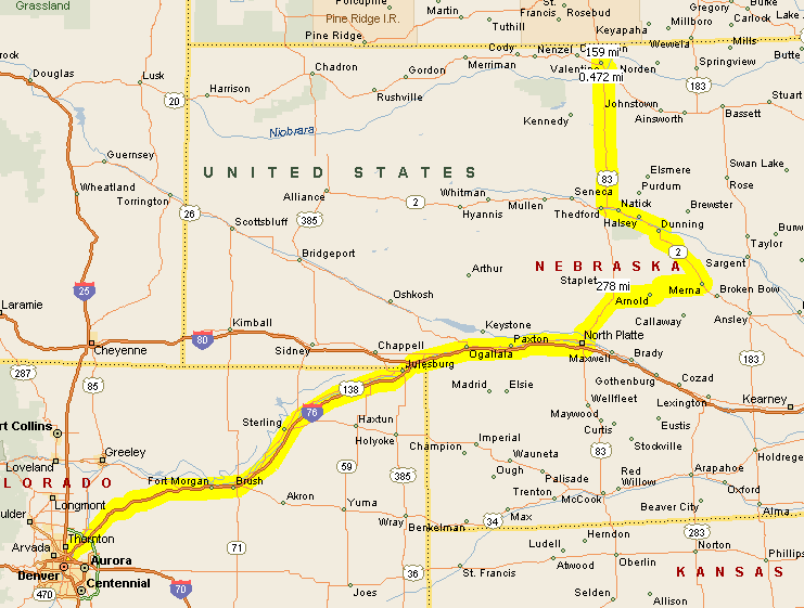
- Route map
- Photo Gallery
- Trip meter: 441 miles
- From: Denver, CO to Valentine, NE
- Summary: No severe storms :(
Long summary
Before this morning, today’s outlook for severe weather was less than ideal. We were originally intending today to be a relaxed travel day to get into position for tomorrow, but the situation had changed by morning. The SPC issued a slight risk area for central NE, which Roger agreed with and we subsequently went after. Dewpoints were great in the high 50s, but other factors did not fall into play.
Radar showed a great boundary which formed a cumulus field early in the day, but this convergence quickly dissapated. The cumulus were completely gone by mid-afternoon. We briefly stopped at Merna, NE, at the intersection of routes 92 and 2, to assess the situation. We watched as a small cumulus cloud built up, then was quickly ripped to shreds by shear (see photos below). Roger then determined that Mother Nature was not going to deliver any storms today. We are now further north at a Holiday Inn Express in Valentine, NE, just south of the South Dakota border.
The setup for tomorrow is much more ensured. We are leaving tomorrow at 8 AM to blast west into Montana, follow those storms east, and then cruise on back east so we can be in Iowa for initiation on Tuesday.
Realtime Summary
(Note the time zone change)
- 11:15 AM MDT –
- 1:33 PM MDT – Currently going E on I-76, 20 mi from NE. Watching an outflow boundary developing in central NE. Targetting North Platte for lunch and gas.
- 4:04 PM CDT –
- 5:23 PM CDT – Heading E on 92 towards a scattered cu. field. Beautiful country out here; a little hilly and lots of green. Cows (moo) and horses! So cool.
Final Thoughts
- Chasing is a blast.
- It’s so flat!
- Damn, daylight is really long here.
- I can’t wait to see a storm; hope tomorrow is as good as it sounds.
- Mooooooo!
Photos
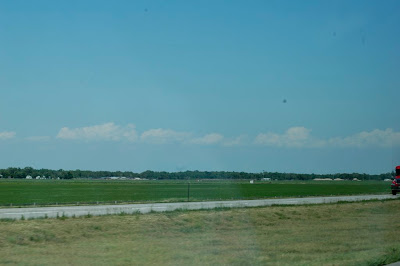
2:20 PM MDT – Observing a boundary early in the afternoon
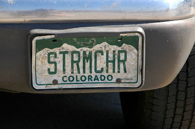
4:15 PM CDT – Took a pic of the license plate at our North Platte break; you should see the expressions some drivers give us when they pass on the highway
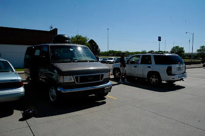
4:16 PM CDT – Taking a break at North Platte

5:37 PM CDT – Watching some cumulus get ripped apart at Merna, NE
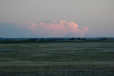
9:30 PM CDT – Observing a storm way off in the distance; yes, it is still light out at this time! Crazy.